

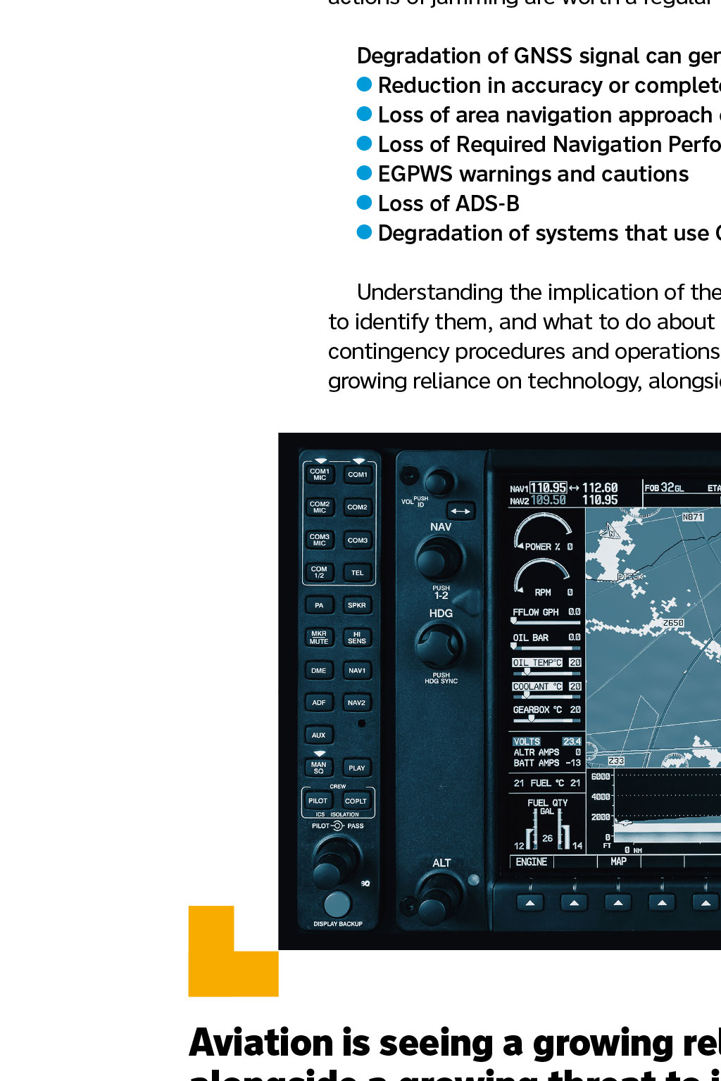
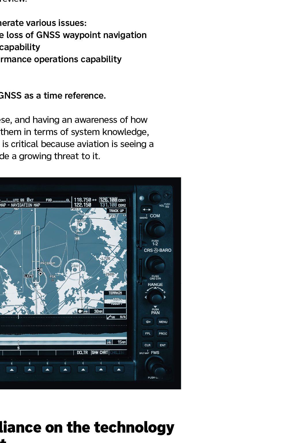
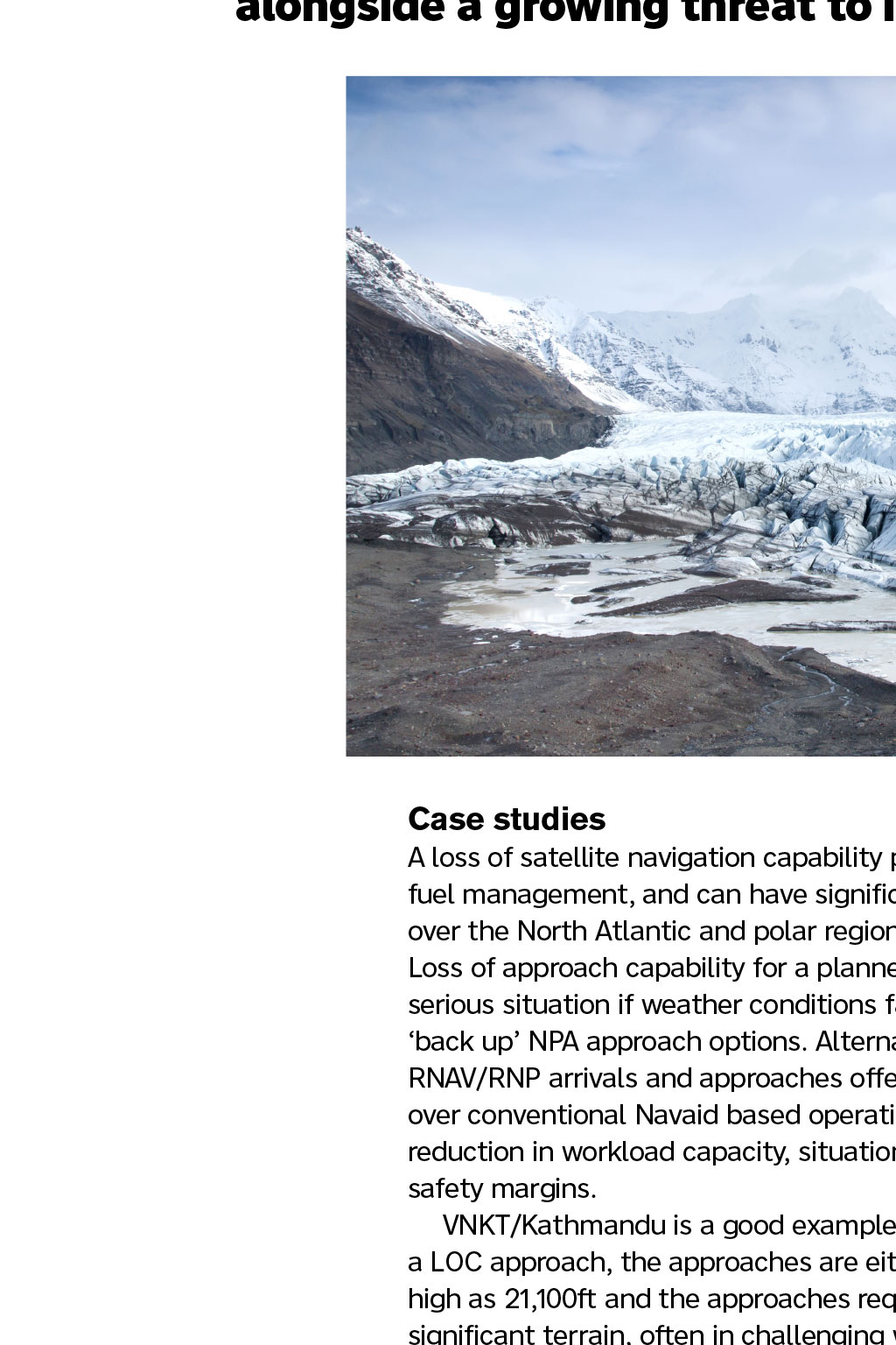
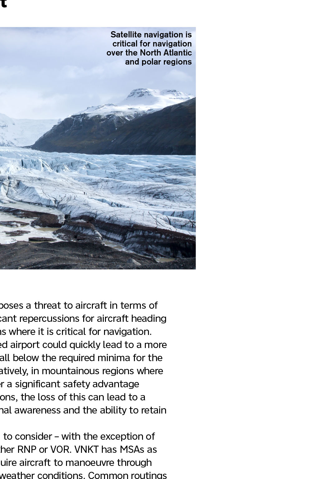


NAVIGATION Exploring the world of GPS jamming for pilots and what we can do By First Officer Bec Lougheed, Log Board member here was a brief moment when GPS navigation could have become a thing. I mean Global Pigeon Systems, not Global Positioning Systems. Project Pigeon, also known as Project Orcon (short for organic control), was a genuine R&D programme in the USA, aimed at training pigeons to navigate missiles. The guidance system consisted of three lenses mounted in the nose cone that projected the image of a target onto a screen that pigeon navigators were trained to peck at to keep it centralised. As laughable as it sounds, pigeons are, of course, known for their incredible homing skills, and 40 pigeons very successfully proved this was viable. In fact, the project ran for some five years and was eventually cancelled only because of advancements in the reliability of electronic guidance systems. So what does this have to do with GPS and GPS jamming in commercial aviation? Well, aside from being an interesting anecdote with which to start this article, we also tend to see military technologies filter down into commercial aviation. So, had Project Pigeon reached the implementation stage, we could potentially have seen pigeon-guided navigation systems in the nose cones of our commercial aircraft. As it (disappointingly) is, we saw GPS of the satellite variety develop instead. The development of GPS GPS was developed in 1973, with the prototype spacecraft launched in 1978. It took until 1993 for a full array of 23 satellites to reach orbit, but the civilian use of GPS only became possible in 1980, as a result of the Korean Air Flight 007 which was shot down. KAL007 was a scheduled flight routing from JFK to ICN via ANC. A combination of issues with ground-based NAVAIDS, VHF interference and errors by the crew led to a significant aircraft deviation into prohibited Soviet airspace over the Kamchatka Peninsula. The aircraft was fired upon by Soviet air defence forces and crashed into the ocean, just off the coast of Sakhalin Island. The USA decided to enable civilian use in order to avoid similar accidents from happening again. Interestingly, the USA did retain the feature of selective availability intentional addition of time-varying errors up to 100m vertical and 50m horizontal to signals until 2000 years to protect against enemy use of satellites for controlling their own weapons. A sort of intentional jamming of capability. A game changer for safety GPS offers significantly better en-route navigation capability, preventing airspace infringements, and recent advancements in approach and arrival navigation accuracy provide a barrier against CFITs. They also improve efficiency, reduce fuel burn and emissions, and increase airspace efficiency at a time when airspace congestion is a mounting issue. RNAV, and the more recent RNP iteration, offer a safer and simpler approach than traditional non-precision methods such as VOR, DME and NDB. They were initially touted as a replacement to the ILS because, while ILS still (for now) provides a more precise approach capability, RNP is catching up. RNP should also offer advantages over ILS in terms of redundancies and limitations, because although ILS is reliant on both ground and aircraft based equipment more parts mean more chance of malfunction it was also expected to experience less interference, offering a more reliable and resilient technology. Operations near conflict zones GPS jamming and spoofing are often an unintended result of attempts to disrupt military activity. The systems designed to do this do not, or cannot, differentiate between civilian and military use, and so impact anyone or anything that happens to be within range. Unfortunately, civilian operations are often in a relatively close range of conflict zones where jamming and spoofing aimed at military operations occur, leading to a potential loss of navigational accuracy in regions where it is very much required as KAL007 tragically demonstrated. Since February 2022 there has been a rapid increase in jamming and possible spoofing of GNSS around areas in proximity to conflict zones, and across the eastern Mediterranean, Baltic Sea and Arctic areas. At risk of re-writing the EASA SIB (2022-02R1) word for word, the signs, impact and actions of jamming are worth a regular review. Degradation of GNSS signal can generate various issues: Reduction in accuracy or complete loss of GNSS waypoint navigation Loss of area navigation approach capability Loss of Required Navigation Performance operations capability EGPWS warnings and cautions Loss of ADS-B Degradation of systems that use GNSS as a time reference. Understanding the implication of these, and having an awareness of how to identify them, and what to do about them in terms of system knowledge, contingency procedures and operations is critical because aviation is seeing a growing reliance on technology, alongside a growing threat to it. Aviation is seeing a growing reliance on the technology alongside a growing threat to it Satellite navigation is critical for navigation over the North Atlantic and polar regions Case studies A loss of satellite navigation capability poses a threat to aircraft in terms of fuel management, and can have significant repercussions for aircraft heading over the North Atlantic and polar regions where it is critical for navigation. Loss of approach capability for a planned airport could quickly lead to a more serious situation if weather conditions fall below the required minima for the back up NPA approach options. Alternatively, in mountainous regions where RNAV/RNP arrivals and approaches offer a significant safety advantage over conventional Navaid based operations, the loss of this can lead to a reduction in workload capacity, situational awareness and the ability to retain safety margins. VNKT/Kathmandu is a good example to consider with the exception of a LOC approach, the approaches are either RNP or VOR. VNKT has MSAs as high as 21,100ft and the approaches require aircraft to manoeuvre through significant terrain, often in challenging weather conditions. Common routings from Europe take aircraft through regions of high jamming incidences, and crew unaware or unprepared to handle a degradation or loss may find themselves experiencing, at best, a vastly increased workload and, at worst, a potential CFIT event. Interference in the Baltic Sea and the Arctic areas has been impacting polar routes, as well as operations at challenging ENTC/ Troms and ENKR/Kirkenes. EASA highlights an increase in jamming around the Black Sea area, including LTBB/Istanbul and LTAA/Ankara FIRs and eastern regions of LRBB/ Bucharest and LBSR/Sofia, as well as in the southeastern Mediterranean, within the LCCC/Nicosia FIR and throughout the neighbouring Middle Eastern region. Aircraft operating across Trkiye, which forms a major connecting airspace between the Middle East/Asia and Europe, consistently report a high number of jamming and interference events. These are particularly prevalent in southern Trkiye where military activity is high because of conflict with neighbouring Syria an airspace that is prohibited for the majority of European operators. A high number of occurrences also occur at LLLL/Tel Aviv and in proximity to the OSTT/Damascus FIR and near the borders with Iran and Iraq on the eastern side. In 2019, there were around 3,500 reports of outages across these areas, which equates to about 10 a day. Throughout 2022/2023, both the numbers and the geographic scope of events have been expanding, particularly as a result of the Russia-Ukraine conflict. The International Telecommunications Union a group within the UN issued a warning in 2022, citing more than 10,000 aviation-related events world-wide. An amateur issue GPS jamming does not occur solely in proximity to conflict zones though. Spoofing equipment and illegal jammers are increasingly easy to source, and have equally serious consequences for civil aircraft. An unusual story was highlighted in 2019 by the South China Morning Post: a pig farm had installed a GPS jammer to deter criminal gangs who had been using drones to drop swine flu-infected items onto their piggeries. The jammer interfered with aircraft overflying the region leading to disruption to ADS-B signals and loss of GPS for aircraft routing into ZYHB/Harbin Taiping. Reports of jamming of civilian aircraft overflying military areas in friendly airspace are also relatively common. The USA regularly tests GPS jamming equipment on its own soil, and while it provides NOTAM and TFR zone alerts for these tests, its systems often impact a greater range than expected. A serious incident at KSUN/Friedman Memorial in 2019 saw an aircraft stray off course and descend to 10,700ft in close proximity to terrain at 10,900ft in low visibility conditions, highlighting the greatly increased risk of CFIT events. Growing complexity in airspace and operations requiring improvements to safety, and the decommissioning of traditional NAVAIDS in favour of a system that offers much greater accuracy, efficiency and safety is seeing an increasing reliance on GPS and it makes sense. The benefits are enormous, but with our basic resources (and skills) reduced, there is a need for vigilance in terms of recognising when GPS jamming may have occurred and what to do about it. Crew actions So what can crews do? Develop their awareness of regions where jamming is prevalent B e able to identify signs of jamming and recognise the potential degradation or loss of systems this might lead to Report any instances of jamming Continue to verify aircraft position via conventional NAVAIDS where able P roactively brief how to revert to conventional navigation methods, particularly for approach phases Include considerations in their fuel planning if operating to an airport reliant on RNAV/RNP approaches Monitor weather conditions and backup approach minima A void planning an airport as a primary alternative if GNSS approaches are the only option. Pulling the sextants back out or installing some pigeons in our nose cones are not the mitigations we need, but ensuring we have plan Bs in mind and improving our awareness of when we might need to enact those, and how is what is going to get us out of some potentially sticky situations. References: China flight systems jammed by pig farms African swine fever defences scmp.com/news/china/ society/article/3042991/china-flight-systems-jammed-pig-farms-african-swine-fever EASA SIB easa.europa.eu/en/newsroom-and-events/news/easa-publishes-sib-warnintermittent-gnss-outages-near-ukraine-conflict Project Pigeon military-history.org/feature/pigeon-guided-missiles.htm